NJ Parcel Flood Risk Dashboard
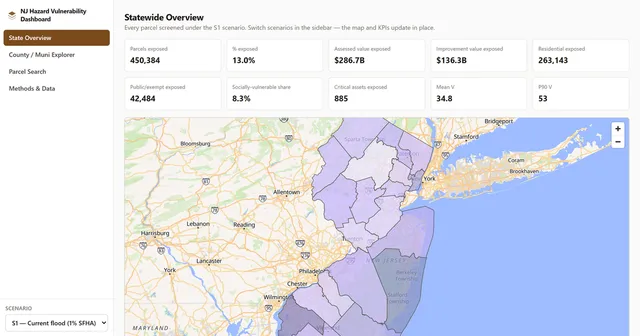
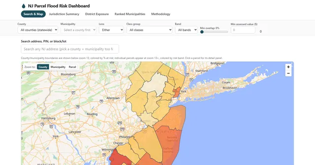
Flood exposure for all 3,478,722 New Jersey parcels, scored 0–100 and served with no backend.
Section
Spatial analysis that ends in a decision, not a map for its own sake. Parcel-, tract-, and municipality-scale work on flood exposure and hazard vulnerability, built so the numbers can be traced back to the source layer and the vintage that produced them.
Flood exposure for all 3,478,722 New Jersey parcels, scored 0–100 and served with no backend.
One parcel core, 5 hazard scenarios, and a vulnerability score you can take apart.
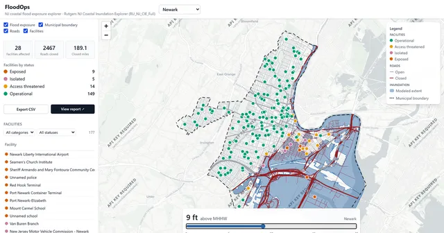
Which facilities and roads go under at each of 21 coastal water levels, across 8 NJ towns.
These live in another section but do substantial work in this one.
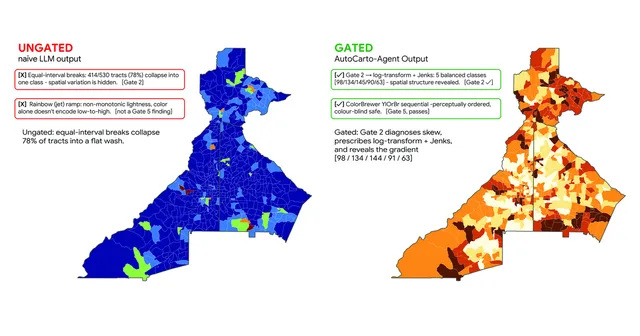
A cartography agent where the LLM proposes and 6 deterministic statistical gates dispose.
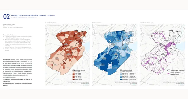
Identifying 163 parcels still threatened by flooding after a 1,300-household buyout.
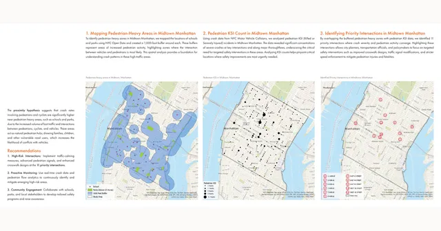
Overlaying 1,000-ft pedestrian buffers on 13 years of NYC crash data to flag 11 intersections.