Geospatial Intelligence
Flood exposure and hazard vulnerability at parcel, tract, and county scale.
3 projects
Urbanist & geospatial analyst · New Brunswick, New Jersey
From flood-finance atlases and heat dashboards to AI agents that make maps, my work connects spatial analysis, reproducible data pipelines, and urban design into evidence people can act on.
Flood exposure and hazard vulnerability at parcel, tract, and county scale.
3 projects
Validated AI systems, reproducible pipelines, and dashboards with no backend.
2 projects
Planning and design work where climate adaptation is the brief.
6 projects
Two systems that are built, tested, and running. Everything is traceable to the repository that produced it.
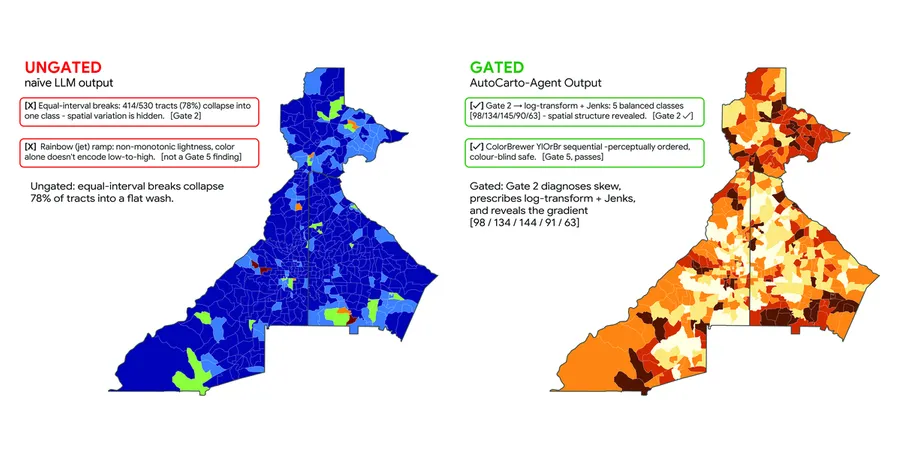
A cartography agent where the LLM proposes and 6 deterministic statistical gates dispose.
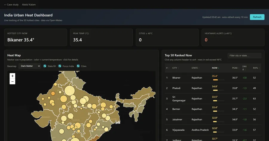
Dangerous heat across 50 Indian cities on one screen, from 2 batched API calls.
Four systems that are fully specified — architecture, data contracts, and publication gates written down — but not yet built. They are marked as such, on the card and on the page.
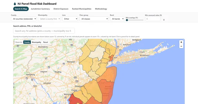
Flood exposure for all 3,478,722 New Jersey parcels, scored 0–100 and served with no backend.
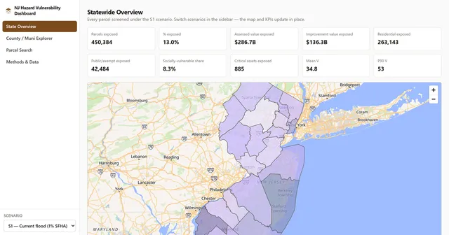
One parcel core, 5 hazard scenarios, and a vulnerability score you can take apart.
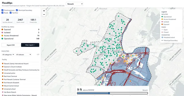
Which facilities and roads go under at each of 21 coastal water levels, across 8 NJ towns.
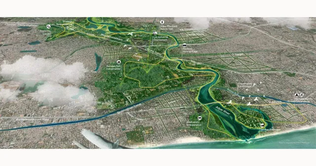
A 10-goal strategy tying Chennai's urban growth to the ecology of a river basin.
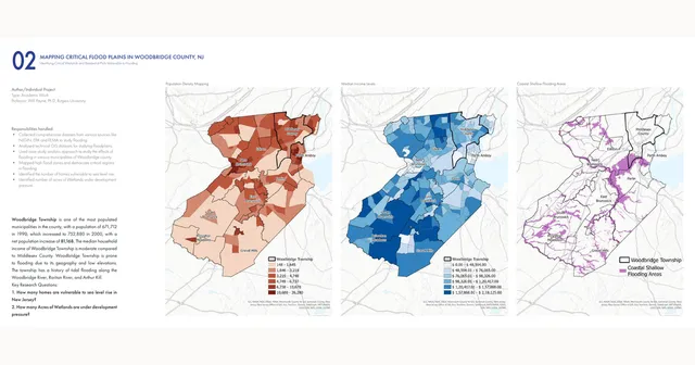
Identifying 163 parcels still threatened by flooding after a 1,300-household buyout.
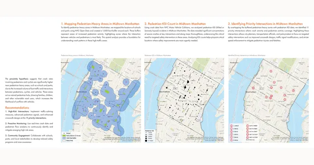
Overlaying 1,000-ft pedestrian buffers on 13 years of NYC crash data to flag 11 intersections.
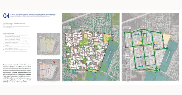
Systematizing blue-green infrastructure across 170 acres into 3 street tiers and 3 open-space types.
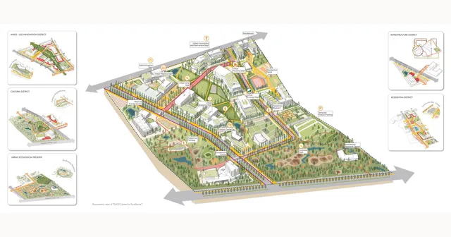
600 kW of campus solar and 68% open space for a research campus that is itself the curriculum.
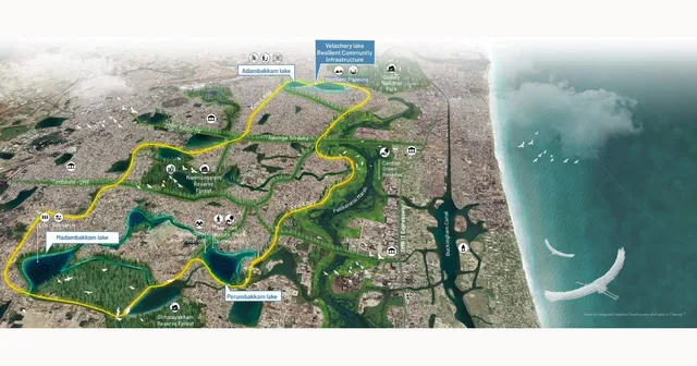
A 3-step framework linking 4 Chennai lakes as resilient community infrastructure.